


Google constantly seeks to improve Google Maps, the world’s most used geolocation and navigation application. And it is that, over the years, it has ceased to be an application that helps you get from point A to point B quickly and safely.
Now google maps it will recommend places to eat, hotels to stay and fun things to do when you arrive at your destination. It will even show you iconic places to visit. It also shows you where to refuel, a cup of coffee, groceries, and much more. The idea is to continue increasing in options and tools.
Google today announced some changes to its application Google Maps that make it more immersive when looking around you to get an idea of what a place is like or, as some call it, what the terrain is like.
The immersive view will combine Street View with aerial imagery and display weather and traffic information on top to offer users “a rich digital model of the world“.
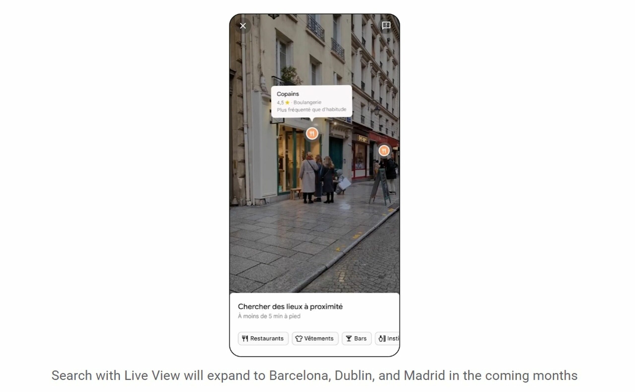
This is how Google Maps Live View will work to locate us
Google give us an example. “Let’s say you’re planning a visit to the Rijksmuseum in Amsterdam. You can virtually fly over the building and see where, for example, the entrances are. With the time slider, you can see what the area will look like at different times of the day and what the weather will be like“.
Continuing with the example, Google adds: “If you’re hungry, slide down to street level to explore nearby restaurants, and even peek inside for a quick feel of a place before you book.“. The immersive view begins rolling out today in London, Los Angeles, New York, San Francisco and Tokyo.
Google’s Live View feature, based on augmented reality, takes live images from the phone’s camera and places huge arrows and other information on top of it to help walkers reach their destination while also pointing out buildings and places of interest around you.
Today the company announced that in the coming months it will add Live View to 1,000 new airports, shopping centers and train stations between several cities, including Barcelona and Madrid.
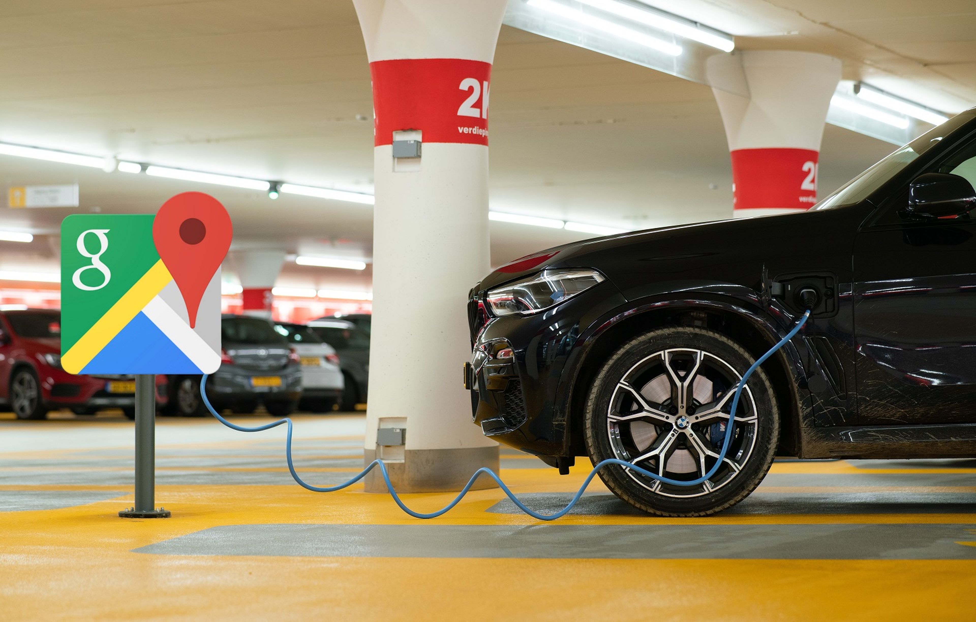
Google Maps will give important information to drivers of electric vehicles
Google Maps is also adding new features for electric vehicles (EVs) that incorporate Google’s capabilities, as we reported a few days ago.
For example, on any trip that requires a stop at a charging station, Maps will recommend the best place to stop based on current traffic, charge level battery of the EV and the expected consumption of the battery.
If the recommended charging stop is not convenient, it can be replaced by another close one. with just a few taps on the screen. With this feature, EV drivers won’t have to worry about stopping to charge, regardless of destination.
EV drivers will also be able to tap the “very fast” charging filter to find stations that use chargers of 150 kilowatts or more. With these changes, Google Maps distances itself from its competitors.