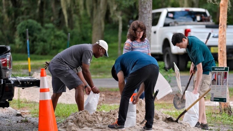
A storm system bearing down on Cuba on Friday is expected to dump torrential rains on the Florida peninsula over the weekend, a forecast that is worrisome for low-lying coastal and urban areas that have been hit by dangerous flooding this year.
According to the U.S. National Hurricane Center in Miami, there is a 90 percent chance the system will become a tropical storm Saturday night off the southwest coast of Florida, where water has been extremely warm, with temperatures near 90 degrees Fahrenheit (33 degrees Celsius) this week.
The hurricane center has labeled it as a potential tropical cyclone four for now, which is moving north. The next name on the list this season is Debby.
“Regardless of development, heavy rainfall could cause flash flooding across Florida, Cuba, and the Bahamas through the weekend,” the hurricane center said in a public advisory.
Flooding doesn’t need a name to be dangerous. Torrential rains from a tropical disturbance in June left many Florida streets impassable and stranded residents as cars floated down flooded roads.
“Hurricanes aren’t the only problem,” said Tom Frazer, executive director of the Florida Flood Hub for Applied Research and Innovation at the University of South Florida.
“We could have very rapidly developing storm systems taking advantage of extremely warm ocean waters and high moisture content in the atmosphere to deposit large amounts of rainfall across various parts of the peninsula,” Frazer said.
The system is forecast to make landfall as a tropical storm on Sunday and move across Florida’s Big Bend region into the Atlantic Ocean, where it is likely to remain a tropical storm threatening Georgia and the Carolinas early next week.
Connect with the Voice of America! Subscribe to our channels Youtube, WhatsApp and to newsletter. Turn on notifications and follow us on Facebook, X and Instagram.


![[Img #74674]](https://thelatestnews.world/wp-content/uploads/2024/12/Santiago-Ramon-y-Cajal-The-promoter-of-modern-neuroscience-150x150.jpg)


Add Comment